Small but Significant Heritage Items
Largely unnoticed and unremarked, although in plain sight, there are many small reminders of an older Saltash in and around the town. (Please note that the 800 by 600 pixels photographs linked to from this page will by default open in this window or tab, with no site navigation menu; you will have to use your browser's 'back' function to return here.)
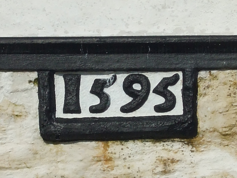
The Passage House Inn, immortalised in J M W Turner's 1811 painting, 'Saltash with the Water Ferry, Cornwall', was built in the late 16th century. The present building, much altered over the centuries and partly demolished in the 1960s, still displays the original 16th century datestone. – Location
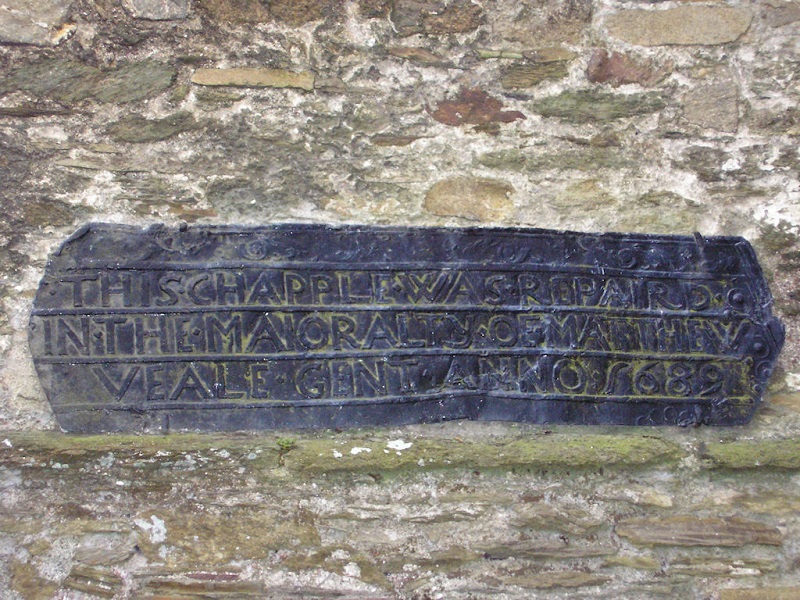
Commemorative plaques are nothing new – this lead plaque, set into the north wall of St Nicholas & St Faith Church, reads: 'This chapple was repaird in the maioralty of Matthew Veale gent Anno 1689' - Location
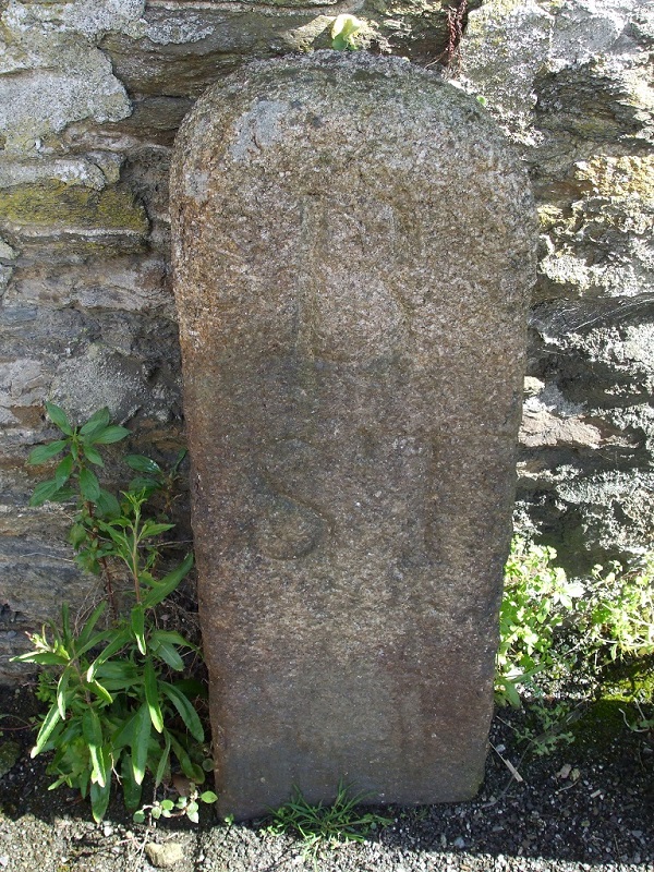
Prior to 1833, when a new road (imaginatively named New Road, part of which was re-named Old Ferry Road in 1961) from the ferry landing to Burraton crossroads was constructed, Culver Road was part of the Saltash Turnpike. One of the old Turnpike boundary stones, marked 'SB' for 'Saltash Borough', still stands at the junction of Culver Road with Coombe Road. – Location
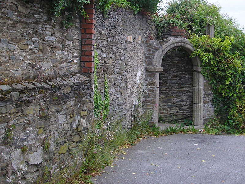
The late 18th century Mansion House was at various times a private home, a girls' school, and finally the Working Men's Club. The building was demolished in the 1980s to make way for the A38 Saltash bypass, but part of the garden wall and its granite gateway still survive. – Location
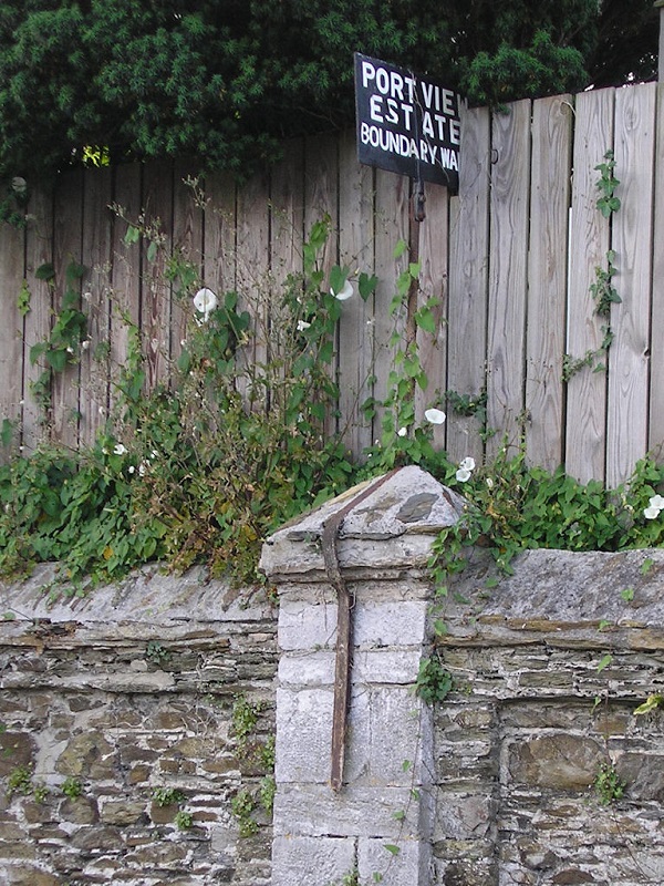
Port View Estate, the first major build outside the mediaeval town boundaries, was laid out in the mid-1800s as a gated community of large villas each set in its own extensive grounds. One of the original boundary markers for the estate can still be seen above the wall on the northern side of Higher Port View, about half-way along. – Location
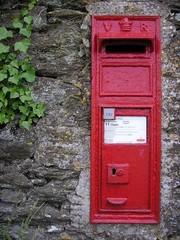
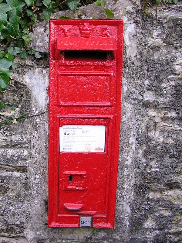
These two Victorian wall-mounted post boxes are still in use after more than a hundred years. One is at Longlands, and the other at Middle Pill. – Location 1 – Location 2

Saltash's first police station was built at the junction of Albert Road and Station Road in 1891. As was common practice at the time, this police station was a house in which the town policeman actually lived, but with a police cell incorporated. The building is now a private house, but the barred cell window remains as it was. – Location
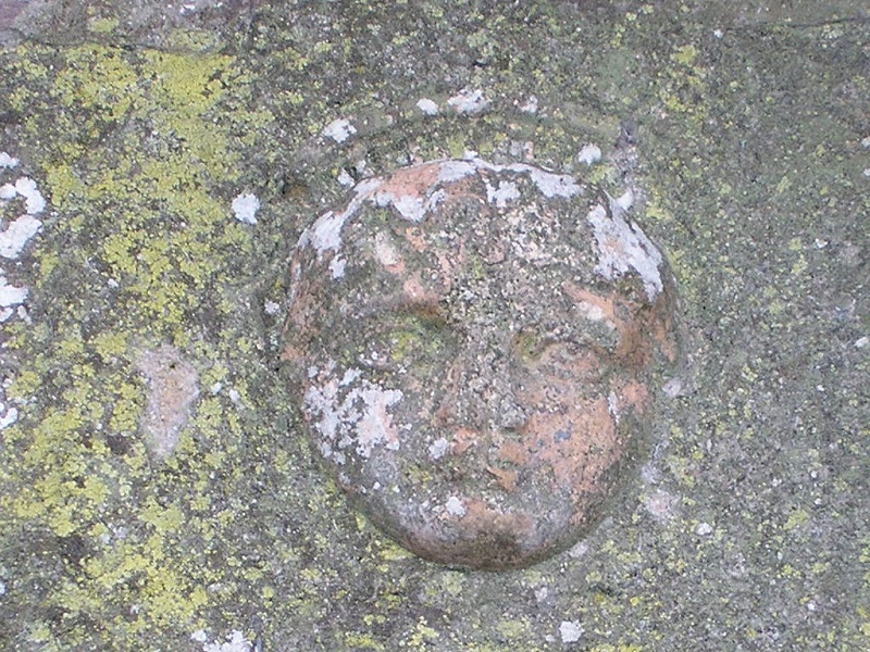
In the early 20th century the Rustic Tea Gardens and the Slade Tea Gardens flourished near Sand Quay. Both are now long gone, but this stone face built into the wall on the far side of the road from Sand Quay seems to be a remnant retrieved from the gardens. (Just above head height, it is easy to miss, even when not obscured by overhanging ivy.) – Location

The grassed area at Brunel Green was originally a salt water swimming pool, filled by the Tamar at high tide. However, after a boat collided with its wall, damaging it severely, the pool fell into disuse. At the north-west corner of the Green, now merging into the wall of the road above, there still remains a set of the original steps to the pool. – Location
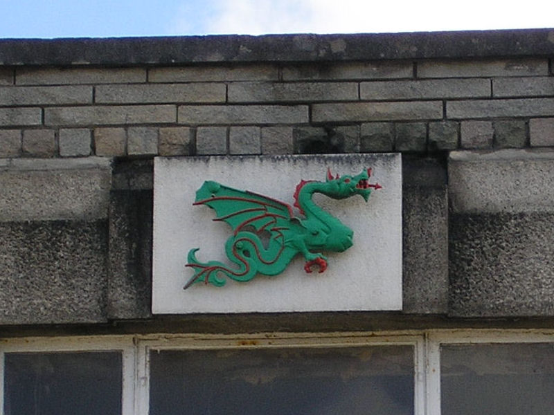
The green dragon bas relief above the main entrance to the Co-op store in Fore Street is a copy of the sign from the Green Dragon Hotel, the ancient coaching inn which stood on that site until it was demolished in 1935. – Location
page updated 2025-03-21