
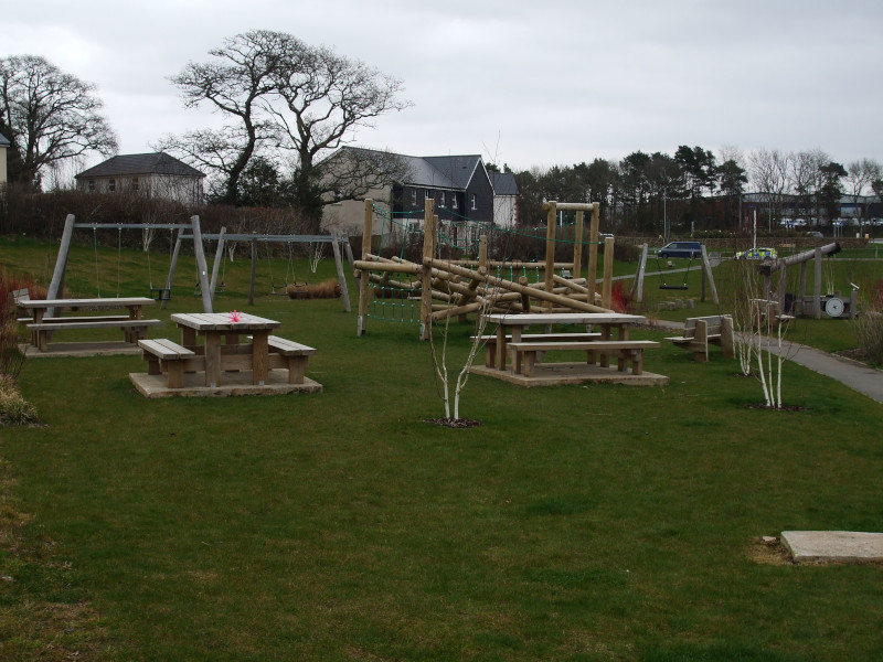
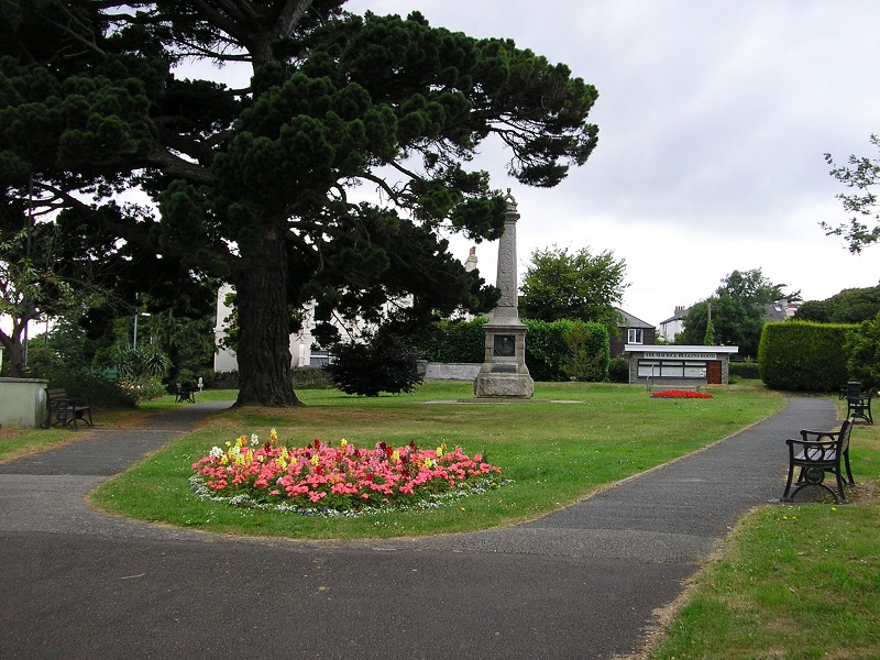
Leisure and Sports 3
Please note that the 800 by 600 pixels photographs linked to from this page will by default open in this window or tab, with no site navigation menu; you will have to use your browser's 'back' function to return here.
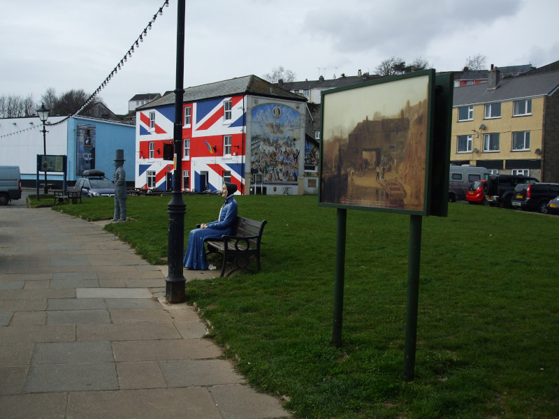
For details of sports, hobby, and social clubs and groups in Saltash, see Saltash Town Council's lists of Leisure and Sports Clubs and Community Organisations.
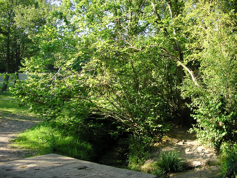
If you'd like to explore the lanes and footpaths of Saltash Civil Parish, Saltash Town Council has a series of suggested routes for country walks. Leaflets giving full details of each walk listed below are available to download in pdf format from the Saltash Town Council website. NB: Walkers should take due care when following these walks and do so at their own risk. No liability is accepted by Saltash Town Council (or by me!).
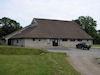
Walk One: 'Latchbrook, Longlands & Leat' - Starting and finishing at Latchbrook Cottages, this walk is mainly along public footpaths through farm fields. - Length of walk: 4.6 km (2.58 miles) - Download Leaflet 1
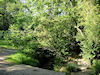
Walk Two: 'Railways, Rivers & Castles' - Starting and finishing at St Stephens, by the Church and the Cecil Arms, this walk along footpaths and lanes takes in meadows, woodland, streams, and the Lynher estuary at Forder and Antony Passage. - Length of walk: 8 km (5 miles) - Download Leaflet 2
Walk Three: 'Trematon & Trevollard' - Starting and finishing at Latchbrook Cottages, this walk is along lanes and field paths through meadows and woods with pleasant river views. (Sections of this walk can be extremely wet and muddy.) - Length of walk: 6.6km (4.1 miles) - Download Leaflet 3
Walk Four: 'A part of Beating Saltash's Bounds' - This walk starts at the Carkeel Barns bus stop and follows the northern section of the Parish Boundary from Botus Fleming (optionally via Moditonham Quay) to Notter Bridge, finishing at the Notter Bridge Junction bus stop. - Length of walk: 6 km (3.8 miles) plus a further 1.95 km (1.2 miles) if the walk to Moditonham Quay is included - Download Leaflet 4
Walk Five: 'Fields, Farms and Forder' - Starting and finishing at Latchbrook Cottages, this walk is mainly along public footpaths and bridleways through and between farm fields. (Parts of this walk can be very muddy.) - Length of walk: 5.25km (3.3 miles) - Download Leaflet 5
page updated 2025-03-21